Karakoram & Baltoro Glacier
📍 Gilgit-Baltistan, northern Pakistan
The greatest concentration of high peaks on Earth — a 62-kilometre river of ice leading to K2 and a ring of granite towers, in the most extreme mountain terrain anywhere.
What makes it marvelous
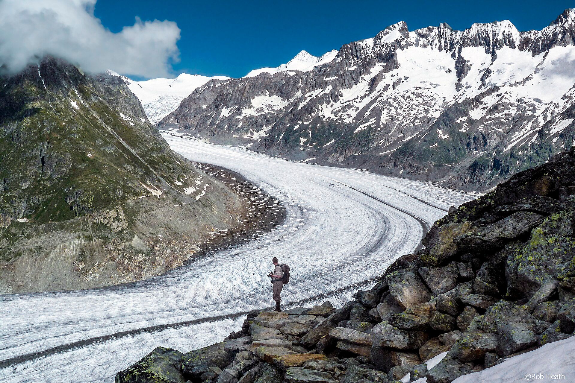
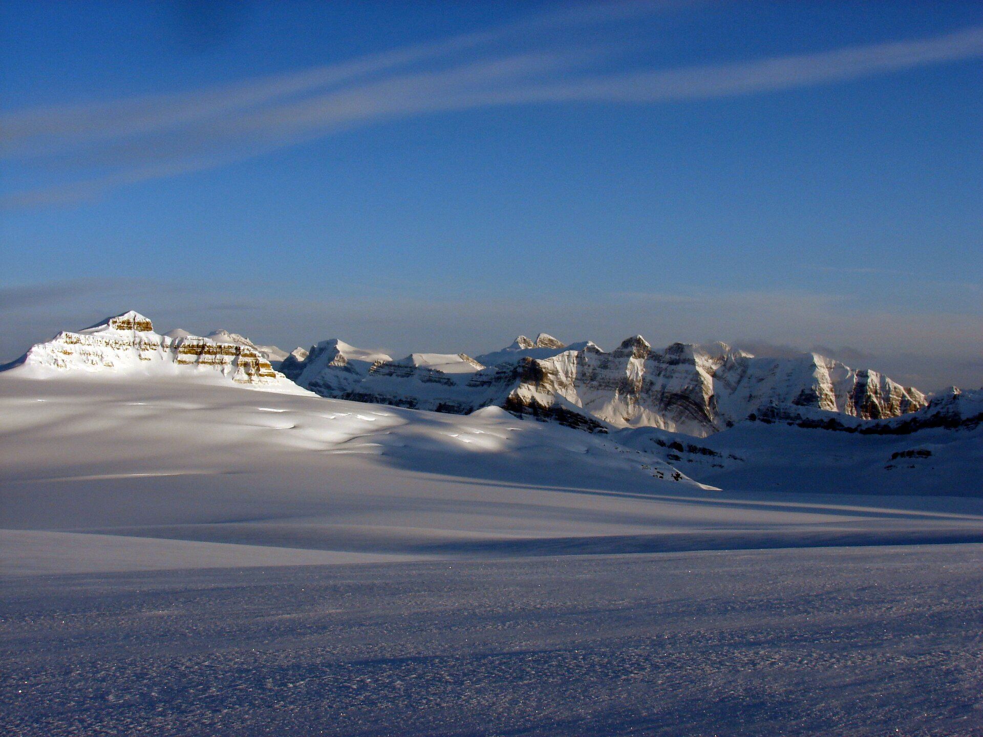
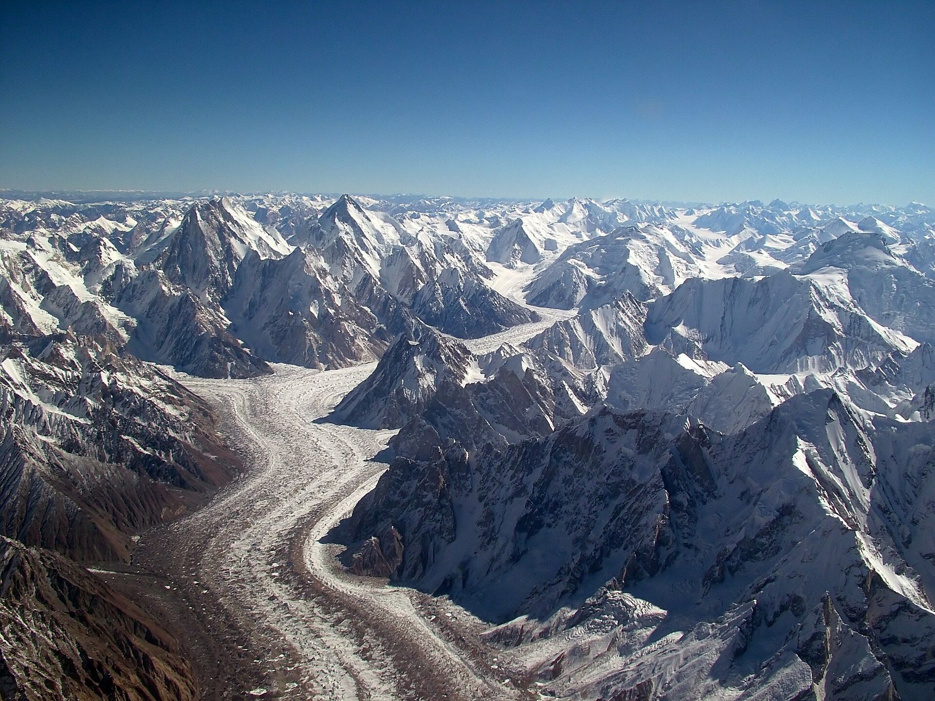
Nowhere on the planet packs so much extreme altitude into so little space as the Karakoram. Within a small radius stand four peaks above 8,000 metres, including K2 at 8,611 metres — the world's second-highest mountain and, by wide agreement, the hardest and deadliest of the giants to climb. The Baltoro Glacier runs 62 kilometres through the heart of it, a vast highway of ice and rubble that trekkers follow for days to reach Concordia, a natural amphitheatre where several glaciers meet and where, in one 360-degree sweep, you can see more of the world's highest peaks than from anywhere else on Earth. Around it rise the Trango Towers, home to some of the tallest sheer cliffs on the planet, and Gasherbrum and Broad Peak. Outside the polar regions, the Karakoram holds the greatest concentration of glaciers anywhere.
Why visit
The trek up the Baltoro to Concordia is widely rated the greatest mountain trek on Earth — days of walking on ice beneath a wall of 8,000-metre giants, ending in an amphitheatre of peaks that has no equal anywhere.
What to know before you go
🗓️ Best time
The short summer window (roughly late June–early September), the only period the high glacier routes and passes are safely trekkable; the rest of the year is severe winter.
🧭 Getting there & access
In Gilgit-Baltistan, northern Pakistan, reached via Skardu (by air or the Karakoram Highway) and the roadhead at Askole; the Concordia trek is a demanding 12–16 day expedition requiring permits, porters, and guides.
Good to know
- Trek only in the July–August window; go with a licensed expedition operator.
- Permits and registered porters are mandatory — arrange months in advance.
- This is remote, high, and serious; strong fitness and acclimatization are essential.
Plan your visit
Expedition🧭 Getting there
From Skardu (KDU), via Islamabad
- Fly Islamabad → Skardu — roughly 1h–1h30 when the weather allows, or 20–24h up the Karakoram Highway
- Jeep Skardu → Askole — about 6–8h on a rough and exposed track
- Trek Askole → Concordia — typically 7–8 days
- Total travel
- Two days from Islamabad to the trailhead, when flights cooperate
- Time at site
- 14–21 days for a Concordia or K2 base camp trek
- Access
- Trekking permits and, for restricted zones, a licensed operator with liaison arrangements administered by the Pakistani authorities. Requirements differ by zone and change, so work through an established operator rather than improvising. Check your government's travel advice for Gilgit-Baltistan before committing to anything.
🎒 What to bring & consider
- Expedition-grade cold gear — Concordia sits around 4,600m and the nights are severe even in midsummer
- Real acclimatisation and a party with altitude experience, because rescue here is limited and slow
- Insurance covering high-altitude helicopter evacuation in Pakistan specifically, which many policies exclude
- Complete self-sufficiency in food and fuel, carried by porters — there are no teahouses anywhere on this route
- Glacier awareness, since much of the trek is on the moving, crevassed surface of the Baltoro itself
👁️ What to expect
- Crowds
- Very few people. Mostly expedition parties and porter trains.
- Conditions
- Weeks on glacier moraine with river crossings, extreme altitude and cold, in full camping self-sufficiency. This is not teahouse trekking.
- Facilities
- None whatsoever. Everything is carried in and out.
- The view
- Concordia's ring of 8,000m peaks, K2 among them, is one of the great mountain amphitheatres on earth. Weather closes it for days at a time, and Skardu flights cancel routinely in both directions.
Times and requirements are approximate and change with season, weather, and local rules — confirm permits, fares, and schedules with operators before you travel.
Natural riches of the area
- Four 8,000 m peaks including K2 (8,611 m) in a small radius
- The 62 km Baltoro Glacier and the Concordia glacier junction
- The Trango Towers — among Earth's tallest sheer cliffs
- The greatest concentration of glaciers outside the polar regions
Local food
- Balti cuisine
- Slow-cooked meat and vegetable dishes from Baltistan, the region's namesake.
- Apricots & dried fruit
- Gilgit-Baltistan's orchards are famed for apricots, mulberries, and walnuts.
- Chapshuro & butter tea
- A stuffed meat bread of the mountains, with salty butter tea against the cold.
Nowhere on Earth crams so much extreme altitude into so small a space as the Karakoram. Within a modest radius stand four peaks above 8,000 metres, K2 among them at 8,611 metres — the world’s second-highest mountain and, by broad agreement, the hardest and most lethal of the giants to climb.
Running through the heart of it is the Baltoro Glacier, a 62-kilometre river of ice and rubble that trekkers follow for days to reach Concordia, a natural amphitheatre where several glaciers converge. Stand there and turn a full circle, and you will see more of the planet’s highest mountains at once than from anywhere else on Earth — K2, Broad Peak, the Gasherbrums, and the sheer granite spires of the Trango Towers, among the tallest cliffs in existence. Outside the poles, this is the most heavily glaciated place on the planet, and the trek to Concordia is widely called the greatest on Earth.
Karakoram & Baltoro Glacier: common questions
How do you get to Karakoram & Baltoro Glacier?
From Skardu (KDU), via Islamabad: Fly Islamabad → Skardu — roughly 1h–1h30 when the weather allows, or 20–24h up the Karakoram Highway; Jeep Skardu → Askole — about 6–8h on a rough and exposed track; Trek Askole → Concordia — typically 7–8 days. Allow Two days from Islamabad to the trailhead, when flights cooperate.
When is the best time to visit Karakoram & Baltoro Glacier?
The short summer window (roughly late June–early September), the only period the high glacier routes and passes are safely trekkable; the rest of the year is severe winter.
How long should you spend at Karakoram & Baltoro Glacier?
14–21 days for a Concordia or K2 base camp trek. Two days from Islamabad to the trailhead, when flights cooperate of travel from Skardu (KDU), via Islamabad.
What should you bring to Karakoram & Baltoro Glacier?
Expedition-grade cold gear — Concordia sits around 4,600m and the nights are severe even in midsummer Real acclimatisation and a party with altitude experience, because rescue here is limited and slow Insurance covering high-altitude helicopter evacuation in Pakistan specifically, which many policies exclude Complete self-sufficiency in food and fuel, carried by porters — there are no teahouses anywhere on this route Glacier awareness, since much of the trek is on the moving, crevassed surface of the Baltoro itself
Do you need a permit or guide for Karakoram & Baltoro Glacier?
Trekking permits and, for restricted zones, a licensed operator with liaison arrangements administered by the Pakistani authorities. Requirements differ by zone and change, so work through an established operator rather than improvising. Check your government's travel advice for Gilgit-Baltistan before committing to anything.
Is Karakoram & Baltoro Glacier crowded, and what are conditions like?
Very few people. Mostly expedition parties and porter trains. Weeks on glacier moraine with river crossings, extreme altitude and cold, in full camping self-sufficiency. This is not teahouse trekking. Facilities: none whatsoever. Everything is carried in and out.
Added
More wonders to explore