Mount Everest
📍 Mahalangur Himal, Nepal / Tibet (China) border
The highest point on Earth — 8,849 metres above sea level, where the Himalaya's collision-built peaks reach into the 'death zone', drawing climbers and trekkers to the roof of the world.
What makes it marvelous
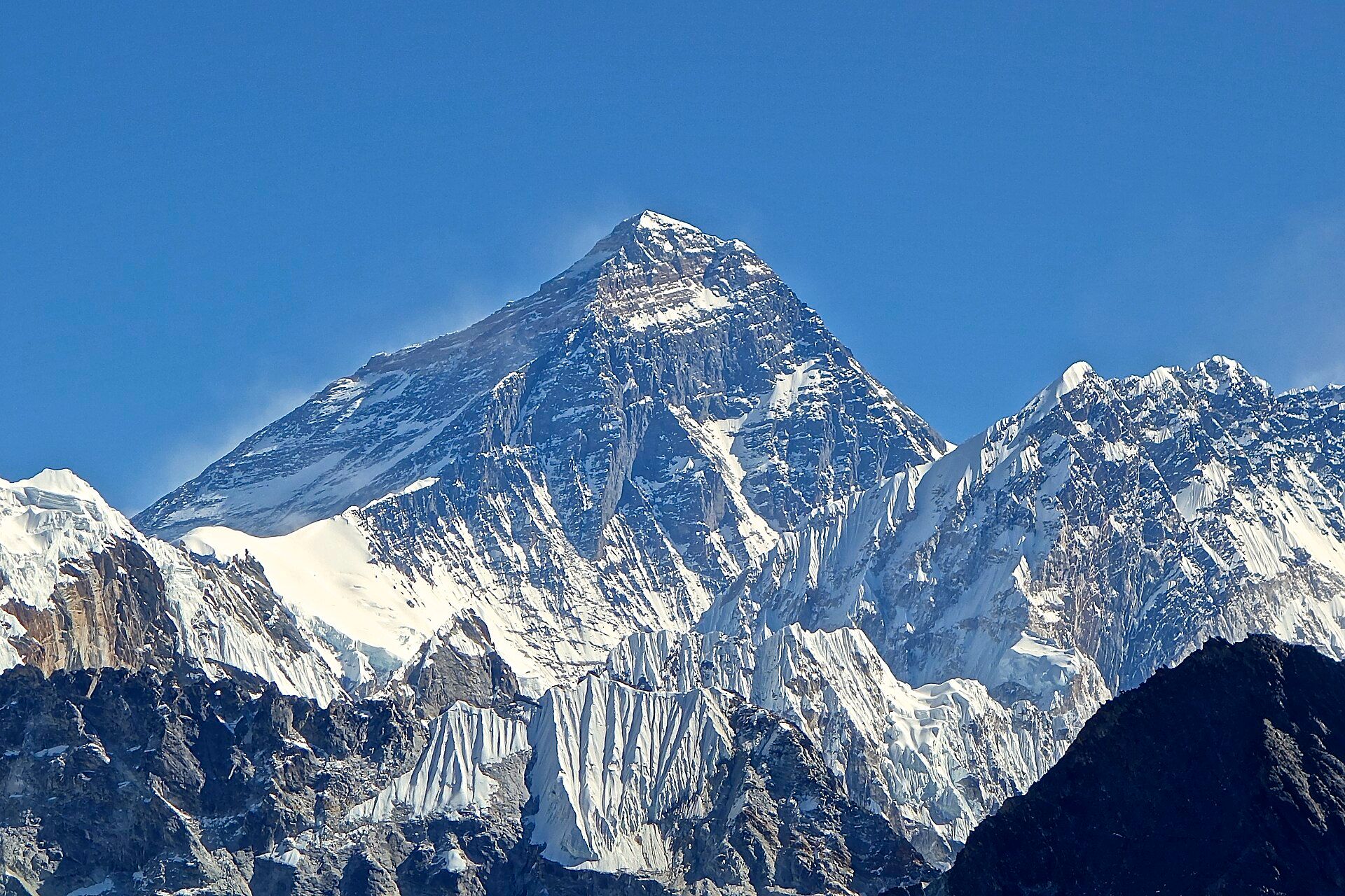
Everest (Sagarmāthā in Nepali, Chomolungma in Tibetan) stands 8,849 metres high, its summit made of marine limestone that was once an ancient seabed — proof that the whole Himalaya was thrown up by the collision of the Indian and Eurasian plates, and that the mountains are still rising a few millimetres a year. Above about 8,000 metres lies the 'death zone', where there is too little oxygen to sustain life for long. It anchors Sagarmatha National Park, a UNESCO World Heritage area and the homeland of the Sherpa people.
Why visit
You needn't summit to feel Everest's pull: the trek to Everest Base Camp through Sherpa villages, monasteries, and glacier-carved valleys is one of the world's classic journeys, with the giants of the Himalaya crowding the sky. It's a pilgrimage to the highest ground on the planet.
More views of Mount Everest
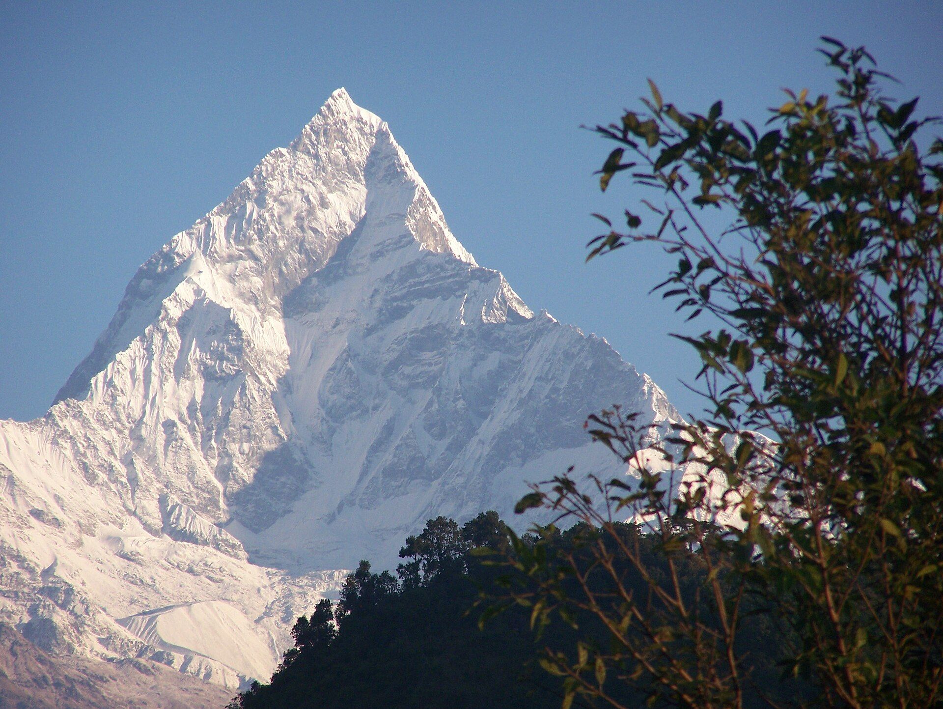
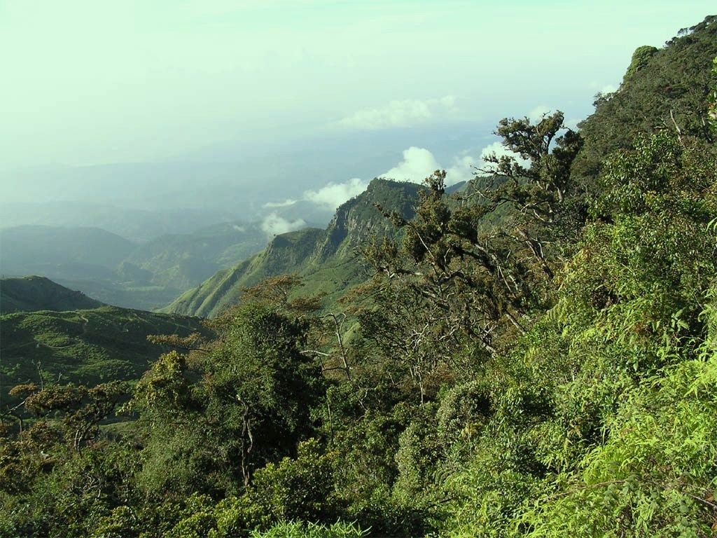
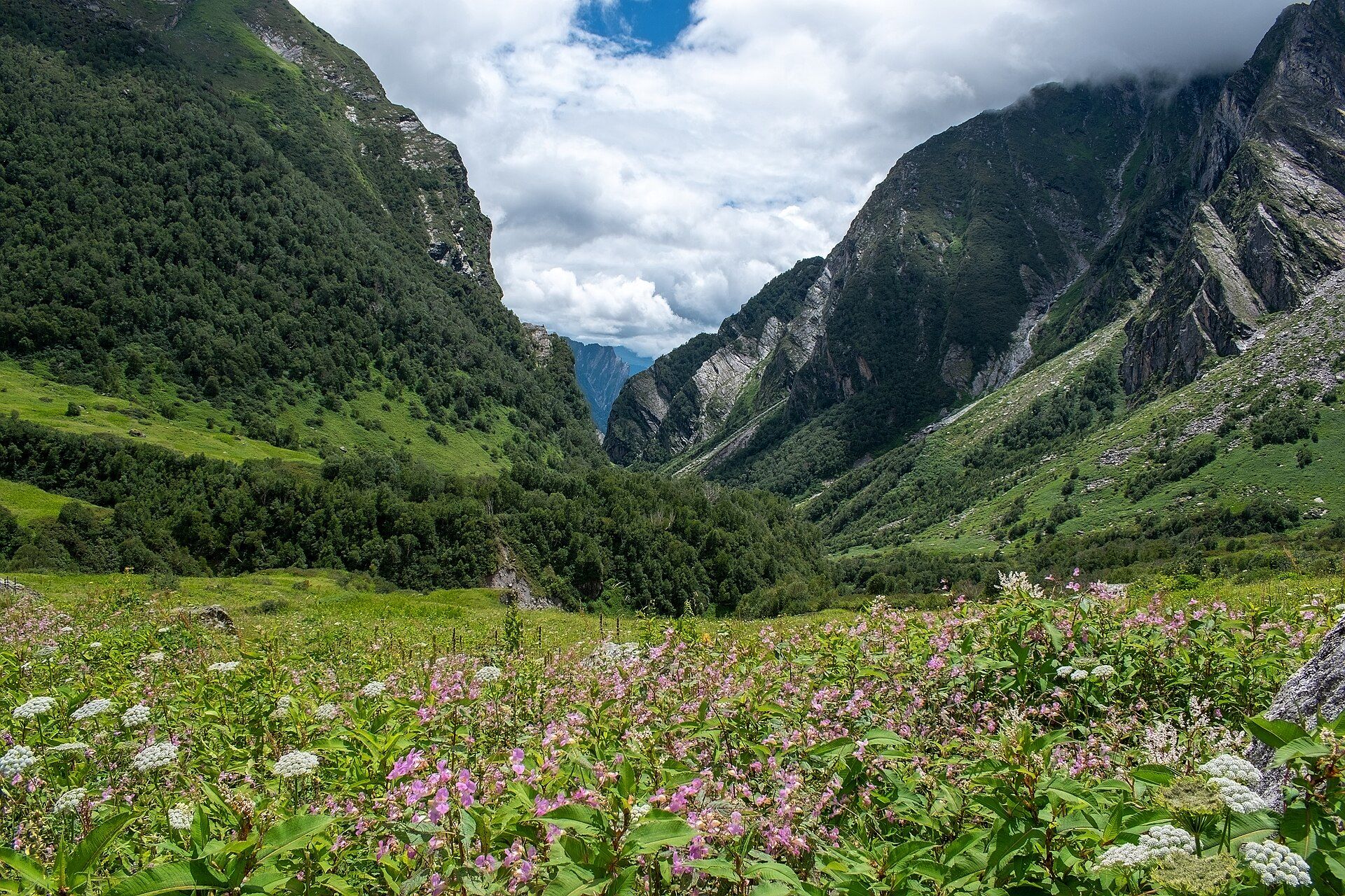
Additional photographs of the actual site — each freely licensed, with its photographer and licence credited.
What to know before you go
🗓️ Best time
Pre-monsoon (roughly March–May) and post-monsoon (roughly late September–November) offer the clearest, most stable weather for trekking and climbing.
🧭 Getting there & access
Most trekkers fly from Kathmandu to Lukla, then walk up the Khumbu valley to Base Camp over about two weeks. Summit expeditions require permits, months of acclimatisation, and experienced Sherpa support.
Good to know
- Acclimatise slowly — altitude sickness is the real danger of the region.
- Support fair treatment of Sherpa guides and porters, who make the mountain accessible.
- Even Base Camp treks demand fitness, good gear, and time.
Plan your visit
Expedition🧭 Getting there
From Kathmandu (KTM), then the mountain airstrip at Lukla (LUA)
- Fly international to Kathmandu
- Light aircraft Kathmandu — or Ramechhap in the busy seasons — to Lukla, roughly 30–40 minutes when the weather allows
- Trek Lukla → Everest Base Camp, typically 8–10 days up with acclimatisation days built in
- Descent is faster — usually 3–4 days
- Total travel
- Two days to reach the trailhead, and that assumes the Lukla flight goes
- Time at site
- 12–16 days round trip for the Base Camp trek
- Access
- Sagarmatha National Park entry plus the Khumbu rural municipality permit, arranged in Kathmandu or at Monjo. Nepal has repeatedly changed its rules on solo trekking and guide requirements, so confirm the current position with the Nepal Tourism Board rather than an older guidebook. Climbing above Base Camp is a wholly separate undertaking requiring an expedition permit from the Department of Tourism.
🎒 What to bring & consider
- A schedule with real acclimatisation days — altitude sickness, not the walking, is what turns people back and occasionally kills them
- Genuine cold gear: down jacket, hat, gloves and a bag rated well below freezing. It freezes hard at night in every season
- Insurance that explicitly names helicopter evacuation at high altitude; standard travel policies exclude it
- Cash in Nepali rupees — there is no reliable ATM above Namche and card acceptance is close to nil
- Water purification, and slack in your plans for the flight delays that are routine at Lukla
👁️ What to expect
- Crowds
- The trail is busy through the two main seasons, roughly March to May and October to November. Teahouses fill and you may end up sharing.
- Conditions
- Five to seven hours of walking most days on rocky trail at increasing altitude. Cold, dry and dusty. Lukla flights cancel for days at a time in poor weather.
- Facilities
- Teahouses the whole way with beds and hot food. Charging and hot water cost extra and get steadily dearer with altitude. Medical posts at Namche and Pheriche.
- The view
- Kala Patthar at dawn is the classic vantage — Everest itself is hidden behind Nuptse from much of the trail, which surprises people.
Times and requirements are approximate and change with season, weather, and local rules — confirm permits, fares, and schedules with operators before you travel.
Natural riches of the area
- The highest mountain on Earth and the greater Himalaya
- Glaciers (the Khumbu among them) feeding Asia's great rivers
- High-altitude ecosystems and rare wildlife (snow leopard, Himalayan tahr)
- Marine fossils at the summit — evidence of continental collision
Local food
- Dal bhat
- Lentils and rice, the sustaining staple meal of Nepal's trekking trails.
- Momos
- Steamed Himalayan dumplings, a beloved snack and meal.
- Sherpa stew (shyakpa) & butter tea
- Warming highland fare and salted butter tea for the cold and altitude.
Everest is the roof of the world — 8,849 metres of rock and ice marking the highest point on the surface of the Earth. Its summit is capped, remarkably, with marine limestone: rock that formed on an ancient seabed and was lifted into the sky when the Indian plate crashed into Eurasia, buckling the crust into the Himalaya. The mountains are still rising, a few millimetres every year, and near the top lies the ‘death zone’, where the air is too thin to keep a person alive for long.
You don’t have to climb it to be moved by it. The trek to Everest Base Camp — up the Khumbu valley through Sherpa villages and monasteries, with the greatest mountains on Earth crowding the horizon — is one of the world’s great journeys, and a window onto the culture of the Sherpa who call this high country home. Within UNESCO-listed Sagarmatha National Park, it is less a single peak than a pilgrimage to the very top of the planet.
At 8,849 metres — the height agreed in a joint Nepali–Chinese survey published in 2020 — Everest is the highest point on Earth’s surface, straddling the border between Nepal and Tibet. It carries two older names that predate the English one: Sagarmāthā in Nepali and Chomolungma in Tibetan. Most people who come to see it are not climbers but trekkers, walking up through the Khumbu from the airstrip at Lukla to Everest Base Camp at around 5,360 metres, and climbing the small peak of Kala Patthar for the classic close view of the summit pyramid. The mountain itself is a serious, dangerous, and permitted undertaking; the trek to its foot is one of the world’s great walks.
Mount Everest: common questions
How do you get to Mount Everest?
From Kathmandu (KTM), then the mountain airstrip at Lukla (LUA): Fly international to Kathmandu; Light aircraft Kathmandu — or Ramechhap in the busy seasons — to Lukla, roughly 30–40 minutes when the weather allows; Trek Lukla → Everest Base Camp, typically 8–10 days up with acclimatisation days built in; Descent is faster — usually 3–4 days. Allow Two days to reach the trailhead, and that assumes the Lukla flight goes.
When is the best time to visit Mount Everest?
Pre-monsoon (roughly March–May) and post-monsoon (roughly late September–November) offer the clearest, most stable weather for trekking and climbing.
How long should you spend at Mount Everest?
12–16 days round trip for the Base Camp trek. Two days to reach the trailhead, and that assumes the Lukla flight goes of travel from Kathmandu (KTM), then the mountain airstrip at Lukla (LUA).
What should you bring to Mount Everest?
A schedule with real acclimatisation days — altitude sickness, not the walking, is what turns people back and occasionally kills them Genuine cold gear: down jacket, hat, gloves and a bag rated well below freezing. It freezes hard at night in every season Insurance that explicitly names helicopter evacuation at high altitude; standard travel policies exclude it Cash in Nepali rupees — there is no reliable ATM above Namche and card acceptance is close to nil Water purification, and slack in your plans for the flight delays that are routine at Lukla
Do you need a permit or guide for Mount Everest?
Sagarmatha National Park entry plus the Khumbu rural municipality permit, arranged in Kathmandu or at Monjo. Nepal has repeatedly changed its rules on solo trekking and guide requirements, so confirm the current position with the Nepal Tourism Board rather than an older guidebook. Climbing above Base Camp is a wholly separate undertaking requiring an expedition permit from the Department of Tourism.
Is Mount Everest crowded, and what are conditions like?
The trail is busy through the two main seasons, roughly March to May and October to November. Teahouses fill and you may end up sharing. Five to seven hours of walking most days on rocky trail at increasing altitude. Cold, dry and dusty. Lukla flights cancel for days at a time in poor weather. Facilities: teahouses the whole way with beds and hot food. Charging and hot water cost extra and get steadily dearer with altitude. Medical posts at Namche and Pheriche.
Added Updated
More wonders to explore