Sagada
📍 Sagada, Mountain Province, Cordillera, Philippines
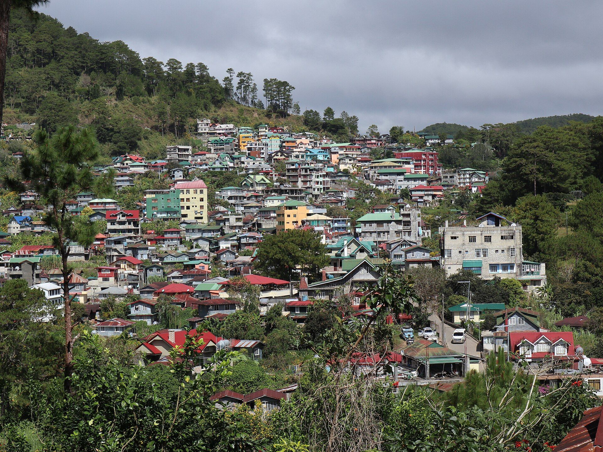
A cool, pine-clad limestone highland in the heart of the Cordillera, where caves riddle the karst, waterfalls drop into rice terraces, and dawn breaks over a sea of clouds at Kiltepan.
What makes it marvelous
Sagada sits at around 1,500 metres on a thick bed of uplifted marine limestone, dissolved over ages into a classic karst country of sinkholes, underground rivers, and deep caves. Sumaguing, the 'Big Cave', descends into a chamber of flowstone, rimstone pools, and stalagmites polished by water; the neighbouring Lumiang cave mouth is stacked with centuries-old wooden coffins. Above ground the same limestone frames Echo Valley — where the Kankanaey people still hang coffins from the cliffs — and channels cold streams into Bomod-ok, a wide falls tumbling through the Fidelisan rice terraces.
Why visit
This is the Philippines with the heat turned off: pine forests, wood smoke, and mornings cold enough for a jacket. You can spend a day underground threading between rock formations, another watching the sun rise over Kiltepan as cloud fills the valleys below, and a third walking to a waterfall through hand-built terraces. It is one of the country's most distinctive highland cultures and landscapes, wrapped into one small town.
What to know before you go
🗓️ Best time
The dry season, roughly November to April, brings the clearest skies and safest caving and trails; December to February is coldest, with the most reliable Kiltepan sea of clouds. The wet months (June–October) make cave passages slippery and trails muddy, and can close the falls trail.
🧭 Getting there & access
Sagada is reached by road through the Cordillera: about 5–6 hours from Baguio along the high Halsema Highway, or roughly 3–4 hours from Banaue via Bontoc. A small environmental fee is collected on arrival at the tourism office, and caving, the falls, and Kiltepan require accredited local guides.
Good to know
- Book an accredited guide through the Sagada tourism office — required for caves and expected elsewhere, and the safest way to see them.
- The 'cave connection' (Lumiang to Sumaguing) is genuinely strenuous and slippery — go with a guide, wear grippy footwear, and skip it in the wet season.
- Pack a warm layer; nights and the pre-dawn Kiltepan trip are cold by Philippine standards.
Natural riches of the area
- Uplifted limestone karst — caves, underground rivers, sinkholes, and cliffs
- Benguet pine forests and cool-climate watersheds
- Spring-fed streams feeding Bomod-ok Falls and Lake Danum
- Heirloom rice terraces on the valley slopes
- Cool-highland crops: Sagada oranges, coffee, and wild blueberries
Local food
- Sagada oranges
- Small, intensely sweet-tart citrus grown in the cool hills, in season around the turn of the year.
- Etag
- Salt-cured, smoke-aged highland pork, used to deepen soups and vegetable dishes across the Cordillera.
- Sagada coffee
- Arabica grown in the mountains and roasted in town — a fixture of chilly Sagada mornings.
- Lemon pie
- A local institution: tart mountain-citrus pie baked fresh, best known from the town's lemon-pie house.
Sagada rewards slowness. The town is small, the air is thin and cool, and almost everything worth seeing asks you to walk — or to climb down into the dark. Its limestone was once a seabed, lifted thousands of metres by the same tectonic forces that raised the whole Cordillera, then hollowed out by rainwater into the cave systems the town is famous for.
The caves are the headline. Sumaguing’s main chamber is a gallery of flowstone curtains and rimstone pools, its floor sculpted by an underground stream; guides read the slick rock like a map. Nearby, the mouth of Lumiang cave holds coffins stacked generations deep, and the cliffs of Echo Valley carry more — a burial tradition the Kankanaey have kept for centuries, placing the dead high on the rock.
Above ground, the karst softens into terraces and pine. The walk to Bomod-ok Falls drops through the Fidelisan terraces to a broad, cold cascade; before dawn, vehicles climb to the Kiltepan viewpoint, where — on a clear cold morning — the valleys fill with cloud and the sun comes up over a white sea. It is a highland world apart from the tropical coast, and one of the reasons the Cordillera feels like its own country.
Sagada: common questions
When is the best time to visit Sagada?
The dry season, roughly November to April, brings the clearest skies and safest caving and trails; December to February is coldest, with the most reliable Kiltepan sea of clouds. The wet months (June–October) make cave passages slippery and trails muddy, and can close the falls trail.
How do you get to Sagada?
Sagada is reached by road through the Cordillera: about 5–6 hours from Baguio along the high Halsema Highway, or roughly 3–4 hours from Banaue via Bontoc. A small environmental fee is collected on arrival at the tourism office, and caving, the falls, and Kiltepan require accredited local guides.
Added
More wonders to explore