Tongariro National Park
📍 Central Plateau, North Island, New Zealand
New Zealand's oldest national park — a volcanic heartland of steaming craters, brilliant emerald lakes, and lava fields, crossed by one of the world's finest day hikes, and sacred to the Māori who gifted it for protection.

What makes it marvelous
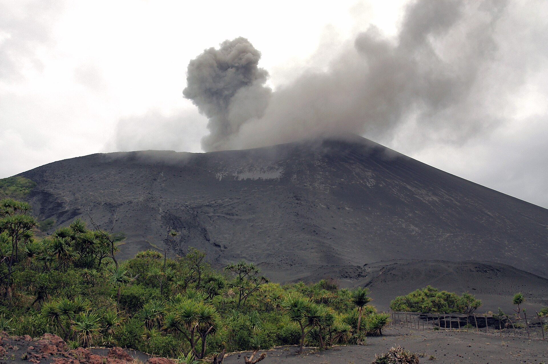
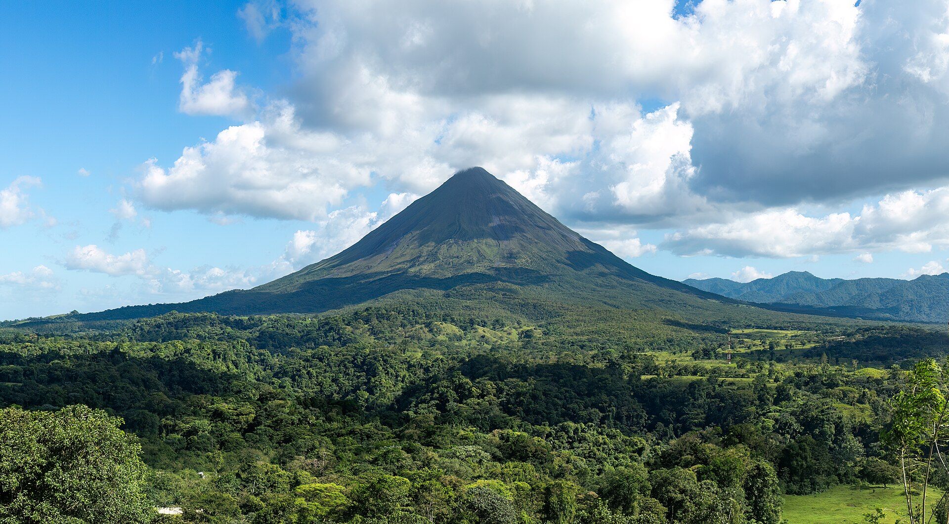
Tongariro is an active volcanic complex on the North Island's Central Plateau, with the cones of Tongariro, Ngauruhoe, and Ruapehu built by eruptions over hundreds of thousands of years. The famous Tongariro Alpine Crossing traverses a stark, otherworldly landscape of red craters, old lava flows, and the vividly coloured Emerald Lakes, whose greens come from dissolved volcanic minerals. It was the first national park in the world to be given UNESCO's dual status for both natural and cultural (Māori) significance — the mountains were gifted to the nation in 1887 by a Māori chief to protect their sacred character.
Why visit
The Alpine Crossing is regularly rated among the best single-day treks anywhere: a march past smoking vents, red craters, and glowing green lakes, with sweeping views across the plateau. Ruapehu adds skiing in winter, and the whole park carries deep cultural meaning.
What to know before you go
🗓️ Best time
Roughly November–April for the Alpine Crossing in summer conditions; winter turns it into a serious alpine (and ski) environment requiring experience and gear.
🧭 Getting there & access
On the Central Plateau of the North Island, between Taupō and Whanganui. Shuttles serve the Alpine Crossing trailheads; check volcanic-activity and weather alerts before hiking.
Good to know
- Check the forecast and volcanic-alert level before the Alpine Crossing — conditions turn fast.
- Start early and carry layers, water, and sun protection.
- Respect the mountains' sacred status to local Māori (iwi).
Plan your visit
Strenuous🧭 Getting there
From National Park or Whakapapa, New Zealand
- Drive to the Tongariro region in the central North Island — roughly 4h–5h from Auckland or Wellington
- Book a shuttle to the Mangatepopo start and from the Ketetahi end of the Crossing
- Walk the Tongariro Alpine Crossing one way — roughly 6–8 hours over about 19.4km
- Total travel
- A long drive from either main city, then a shuttle to the trailhead
- Time at site
- A full day for the Crossing
- Access
- The Tongariro Alpine Crossing is a one-way, roughly 19.4km alpine tramp, and because it starts and ends in different places with a strict car-park time limit at Mangatepopo, almost everyone uses a booked shuttle rather than a private car. It is fully exposed alpine terrain that turns dangerous fast — people set out in shorts on a fine morning and meet snow, wind and cloud up top — so the weather forecast governs whether you go at all. This is also active volcanic country; check the current volcanic alert level with the authorities before setting out, as it can close the route.
🎒 What to bring & consider
- A booked shuttle, since the Crossing is one-way and the Mangatepopo car park enforces a short time limit
- A hard look at the mountain forecast, because this exposed alpine route turns from pleasant to genuinely dangerous within an hour
- Full layers, waterproofs, hat and gloves even on a fine day, plus proper boots for a long, rough volcanic trail
- A check of the current volcanic alert level with the authorities, which can and does close the route
- Plenty of water and food for a six-to-eight-hour day with no services once you start
👁️ What to expect
- Crowds
- Very busy on fine summer days — a near-continuous line of walkers. Weather and the shoulder seasons thin it.
- Conditions
- Exposed, high and volcanic, with a big climb, loose scree and fast-changing alpine weather.
- Facilities
- Toilets at intervals on the track and at the ends. Nothing else — you are self-sufficient all day.
- The view
- The vivid Emerald Lakes steaming below the red crater near the high point, with the cone of Ngauruhoe beyond. That mountain is sacred to Māori and climbing it is discouraged; photograph it, do not scramble it.
Times and requirements are approximate and change with season, weather, and local rules — confirm permits, fares, and schedules with operators before you travel.
Natural riches of the area
- Active andesite volcanoes and geothermal features
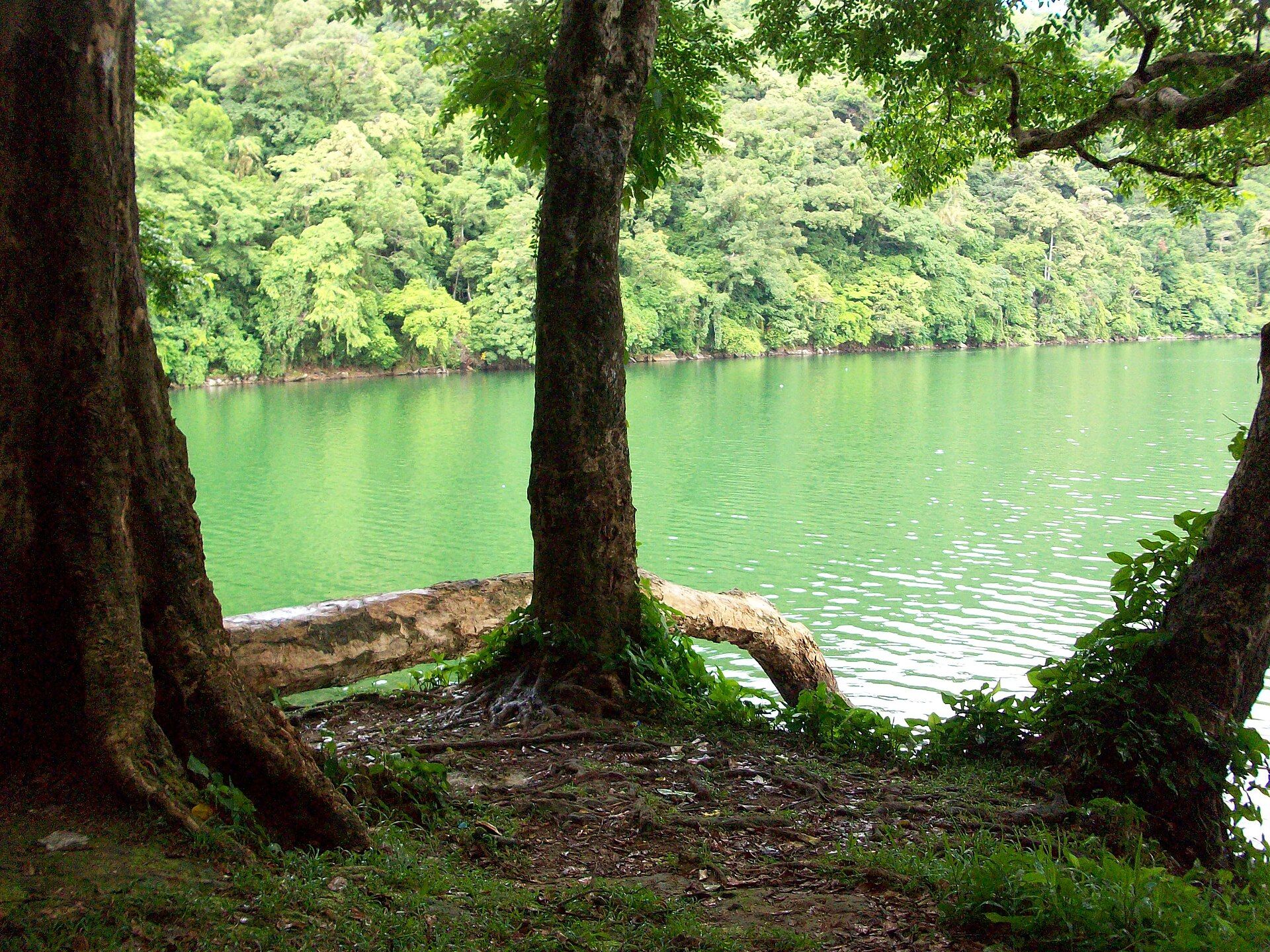
- Mineral-coloured crater lakes (the Emerald Lakes)
- Alpine and tussock ecosystems
- A dual natural-and-cultural World Heritage landscape
Local food
- Hāngī
- A traditional Māori feast cooked in an earth oven with heated stones.
- Lamb & venison
- New Zealand's renowned grass-fed meats.
- Kūmara
- Sweet potato, a staple in Māori and New Zealand cooking.
Tongariro is New Zealand’s oldest national park and one of its most extraordinary landscapes — an active volcanic heartland where three great cones rise over a plateau of lava fields, steaming vents, and improbably coloured lakes. The celebrated Tongariro Alpine Crossing threads right through it, past a stark red crater and the Emerald Lakes, whose vivid green is dissolved volcanic minerals; it is regularly ranked among the finest day hikes on the planet.
The park is also a milestone in conservation and culture. In 1887 a Māori chief gifted these sacred mountains to the nation to protect them, and Tongariro became the first place in the world granted UNESCO World Heritage status for both its natural and its cultural values. To cross it on foot is to walk through active geology and living heritage at once.
Tongariro National Park: common questions
How do you get to Tongariro National Park?
From National Park or Whakapapa, New Zealand: Drive to the Tongariro region in the central North Island — roughly 4h–5h from Auckland or Wellington; Book a shuttle to the Mangatepopo start and from the Ketetahi end of the Crossing; Walk the Tongariro Alpine Crossing one way — roughly 6–8 hours over about 19.4km. Allow a long drive from either main city, then a shuttle to the trailhead.
When is the best time to visit Tongariro National Park?
Roughly November–April for the Alpine Crossing in summer conditions; winter turns it into a serious alpine (and ski) environment requiring experience and gear.
How long should you spend at Tongariro National Park?
A full day for the Crossing. A long drive from either main city, then a shuttle to the trailhead of travel from National Park or Whakapapa, New Zealand.
What should you bring to Tongariro National Park?
A booked shuttle, since the Crossing is one-way and the Mangatepopo car park enforces a short time limit A hard look at the mountain forecast, because this exposed alpine route turns from pleasant to genuinely dangerous within an hour Full layers, waterproofs, hat and gloves even on a fine day, plus proper boots for a long, rough volcanic trail A check of the current volcanic alert level with the authorities, which can and does close the route Plenty of water and food for a six-to-eight-hour day with no services once you start
Do you need a permit or guide for Tongariro National Park?
The Tongariro Alpine Crossing is a one-way, roughly 19.4km alpine tramp, and because it starts and ends in different places with a strict car-park time limit at Mangatepopo, almost everyone uses a booked shuttle rather than a private car. It is fully exposed alpine terrain that turns dangerous fast — people set out in shorts on a fine morning and meet snow, wind and cloud up top — so the weather forecast governs whether you go at all. This is also active volcanic country; check the current volcanic alert level with the authorities before setting out, as it can close the route.
Is Tongariro National Park crowded, and what are conditions like?
Very busy on fine summer days — a near-continuous line of walkers. Weather and the shoulder seasons thin it. Exposed, high and volcanic, with a big climb, loose scree and fast-changing alpine weather. Facilities: toilets at intervals on the track and at the ends. Nothing else — you are self-sufficient all day.
Added Updated
More wonders to explore